#deinsauerland
The Sauerland
The Sauerland is "Germany's inspiring outdoor region" - and for good reason. Because on 5,000 square kilometers in the swaying low mountain range landscape, characterized by dense forests, wide meadows and clear lakes, there are so many opportunities for experiences of all kinds.
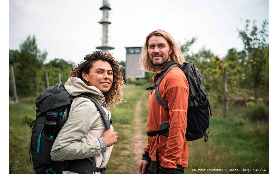
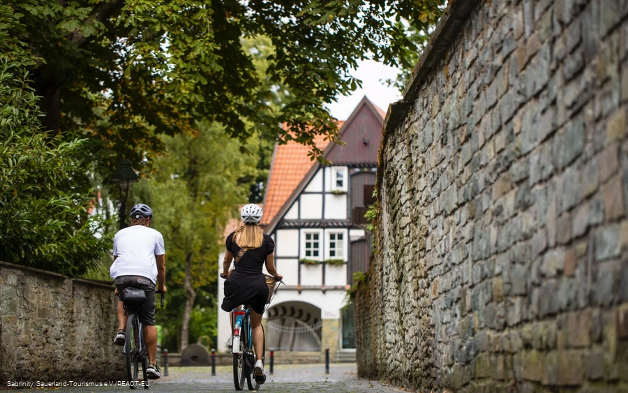
Germany's first and largest quality hiking region is located here. Three major long-distance hiking trails cross the landscape. Numerous themed and one-day routes appeal to leisurely hikers. Cyclists are out and about on the numerous river and railroad cycle paths, enjoying nature and taking it easy or using the extensive network of cycle paths connected by numbered junctions for spontaneous rides.
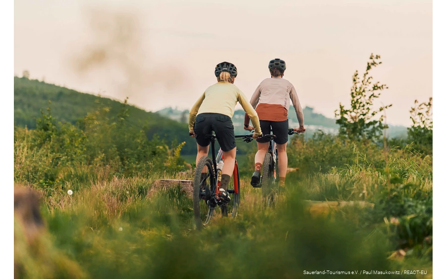
Mountain bikers, Gravelbikers and racing cyclists are challenged by the varied topography. There are also five large reservoirs in the middle of the densely wooded landscape, which attract countless guests to their shores and onto the water year after year with their many activities. In the cold season, the Sauerland winter sports arena with its wide range of ski slopes and toboggan runs is the largest winter sports area north of the Alps. This variety of experiences makes the Sauerland outdoor region one of the most popular destinations for holidaymakers and day-trippers in North Rhine-Westphalia and Germany.
Your Sauerland experience is waiting for you!
Excursions and activities in the Sauerland are a very special treat at any time of year! We have put together a few great tips for you here:


