- Culturally interesting
- Circular route
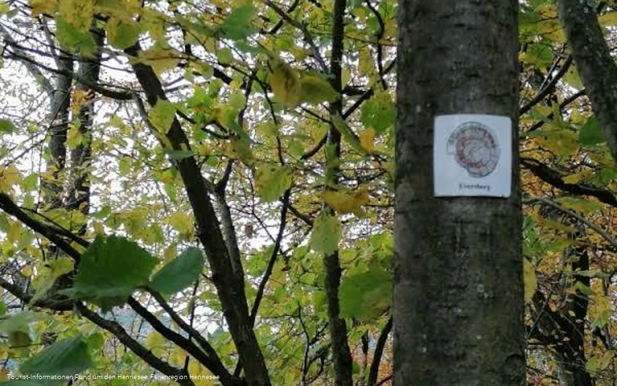
- Signage
- free of charge / accessible at any time
WaldKulTour Südwestfalen - border towns
With the WaldKulTour routes, you can experience the Südwestfalen forest landscape with its essential cultural and historical elements. This route immerses you in the border rivalries of times long past.
Tour starting point:
Hikers' parking lot Kohlwedertal
Tour destination point:
Hikers' parking lot Kohlwedertal
Properties:
Additional Information
Hiking map "Around the Hennesee", hiking map Meschede-Freienohl, ISBN 978-3-89920-787-3
The hiking map has a scale of 1:30,000 and is GPS-accurate. Regional hiking trails and local circular hiking trails are marked. The back of the map contains information on excursion destinations, tips on places to stop for refreshments and leisure activities as well as an overview of the circular hiking trails with lengths and tour tips for the individual places.
The map material is weatherproof, tearproof and wipeable. The individual hiking maps are available at the tourist information offices "Around the Hennesee". They can also be ordered from bookshops throughout Germany.
https://www.hennesee-sauerland.de/sauerland/freizeit/wanderwege/wanderkarten-bestwig-meschede/
Category
regionaler WanderwegLength
12.2 kmDuration
3:35 hElevation ascent
335 mElevation descent
335 mLowest point
312 mHighest point
424 mCondition
Difficulty
In the middle of the Arnsberg Forest, small towns and settlements tell exciting stories from a time when borders were fiercely contested. Many of these places were once built for strategic reasons: They were intended to secure territories, consolidate claims to power and serve as protection in the event of conflict. They were often founded far away from existing villages - and were dependent on nature to survive from the outset.
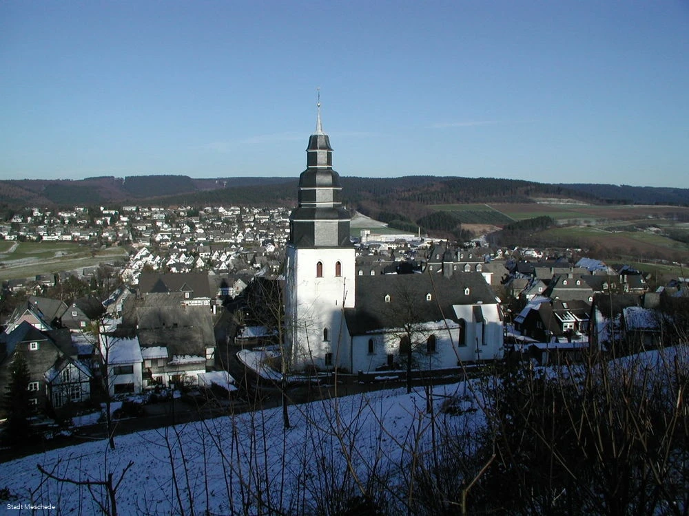
One particular example of this is the small town of Eversberg, idyllically situated in the forest with its picturesque half-timbered houses. It was granted town privileges by Count Gottfried III back in the Middle Ages. At the time, its fortifications protected the border of the Grafschaft Arnsberg from the Archbishopric of Cologne. However, it was not only military reasons that played a role: the foundation was also intended to promote the economic use of the forest.
Due to the remote location, the inhabitants learned early on to live with the resources of the forest. This gave rise to numerous trades and industries. Even today, old field names remind us of this time: they tell of charcoal burning, ash distilling, ore mining as well as flax and hop cultivation. The use of the forest floor as fertilizer and bedding for the stables has also left its mark here.
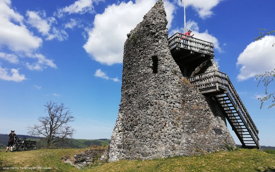
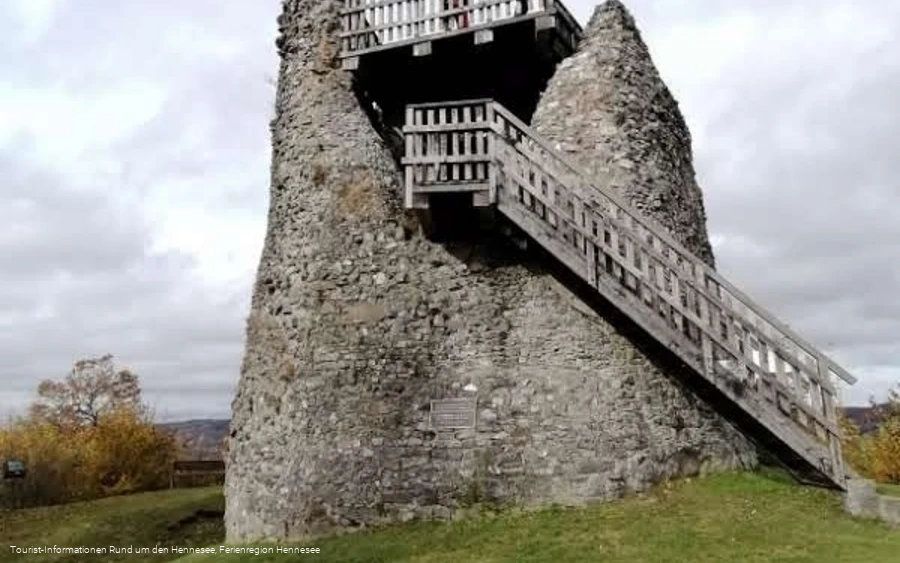
When Count Gottfried IV was left without descendants in 1368, he sold the Grafschaft Arnsberg to the Archbishop of Cologne. Eversberg lost its border position, the castle fell into disrepair and a chapter of history came to an end. But the traces of this eventful past are still visible today - and make the hike on the WaldKulTour Border Towns a fascinating journey through nature and history.
Information
Directions
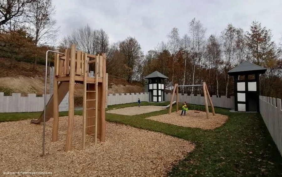
The WaldKulTour route leads along the Kohlweder Bach stream along varied paths up to Eversberg. Even on the way, there is a fantastic view of the valley and the medieval town. Once you arrive in the historic Altstadt, there are a large number of historic buildings to see. The highlight is the view from the castle ruins down into the Ruhrtal. A playground at the foot of the castle ruins invites you to take a break. The return route leads through the Eversberg fields back to the starting point at the Kohlwedertal hiking parking lot.Difficulty: medium, Distance: 12.2 km, duration: 3:35 h,Ascent: 335 m, descent: 335 m
Equipment
Sturdy shoes.
