- Refreshment stop
- Good public transport connections
Sauerland-Höhenflug: On the road on the Hunau and Rothaar ridges
Tour starting point:
Altastenberg, church
Tour destination point:
Altastenberg, church
Properties:
Category
regionaler WanderwegLength
20.7 kmDuration
5:12 hElevation ascent
660 mElevation descent
336 mLowest point
446 mHighest point
813 mCondition
Difficulty
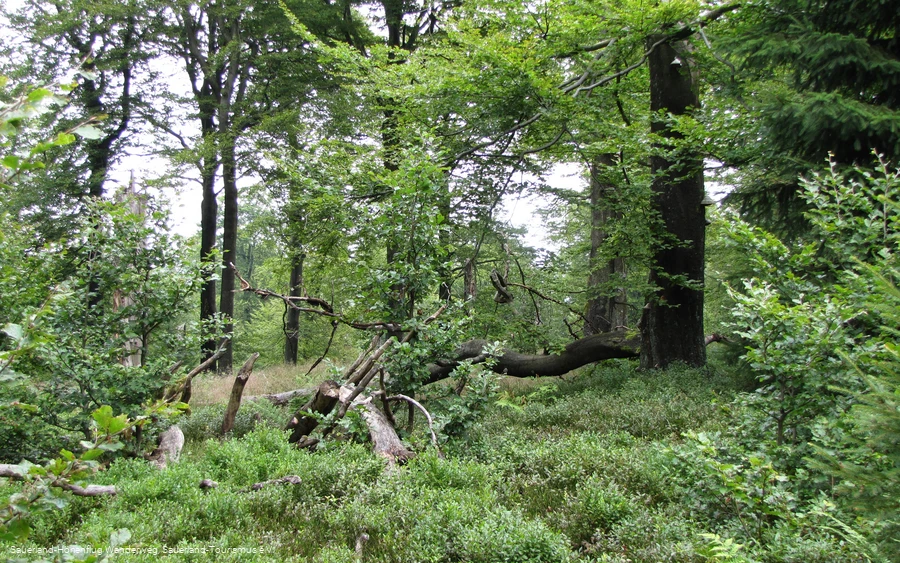
From Altastenberg, two express bus lines take you to the pretty half-timbered village of Bad Fredeburg with just a short change. Very special natural treasures await you on the 815 m high Hunau ridge - because extensive, natural Buchenwald forests with ancient raised bogs accompany hikers on their way to Altastenberg, the highest village in the Sauerland.
All public transport information at a glance:
Start at the bus stop Altastenberg, Kirche and take the express bus line S40 in the direction of Grafschaft to Gleidorf, Unterdorf. There you change to the express bus line S90 in the direction of Meschede to the bus stop Bad Fredeburg, Sparkasse. This service runs every hour in the morning and only irregularly towards the end of the afternoon (including at weekends).
Information
Directions
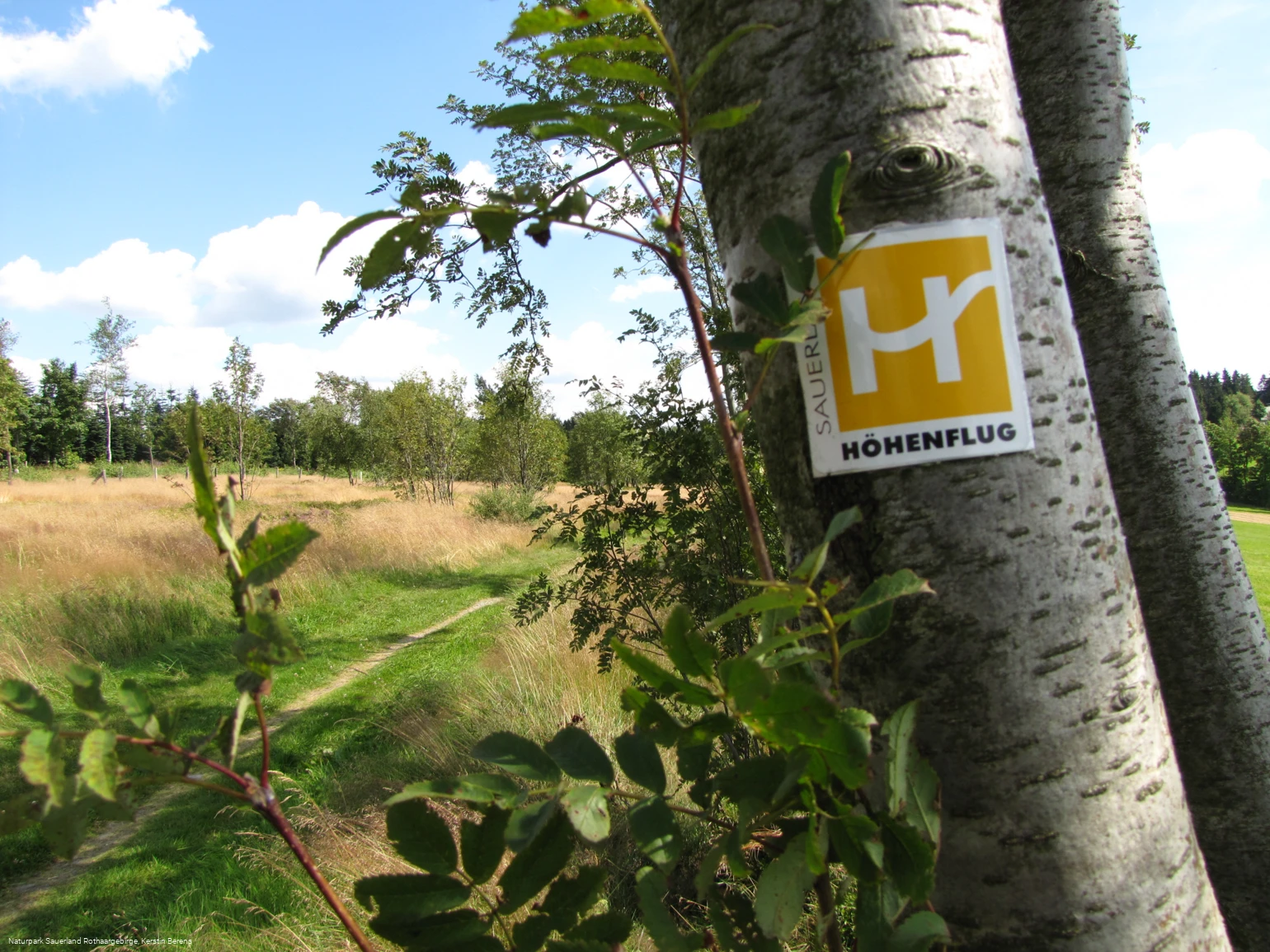
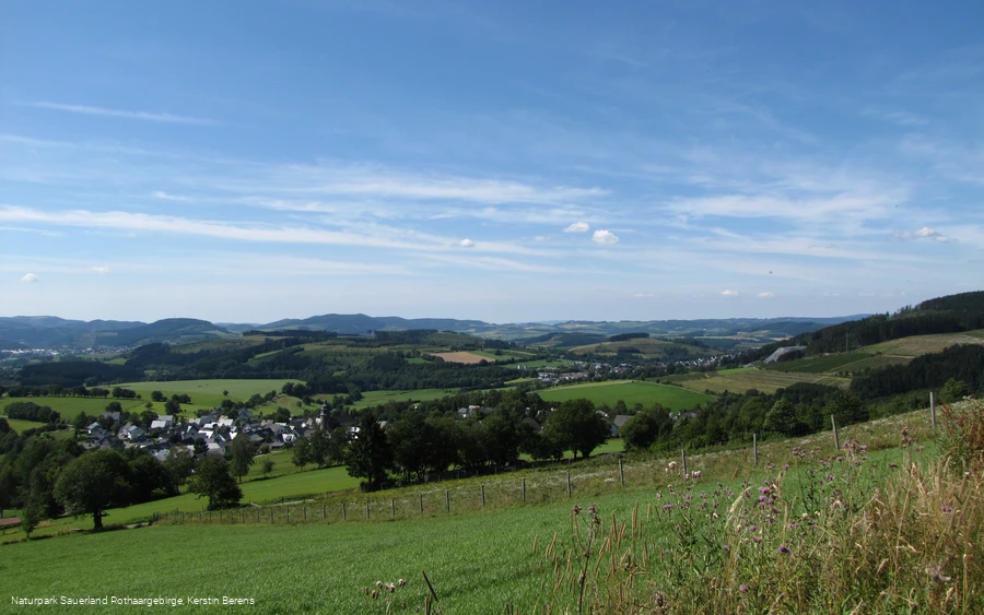
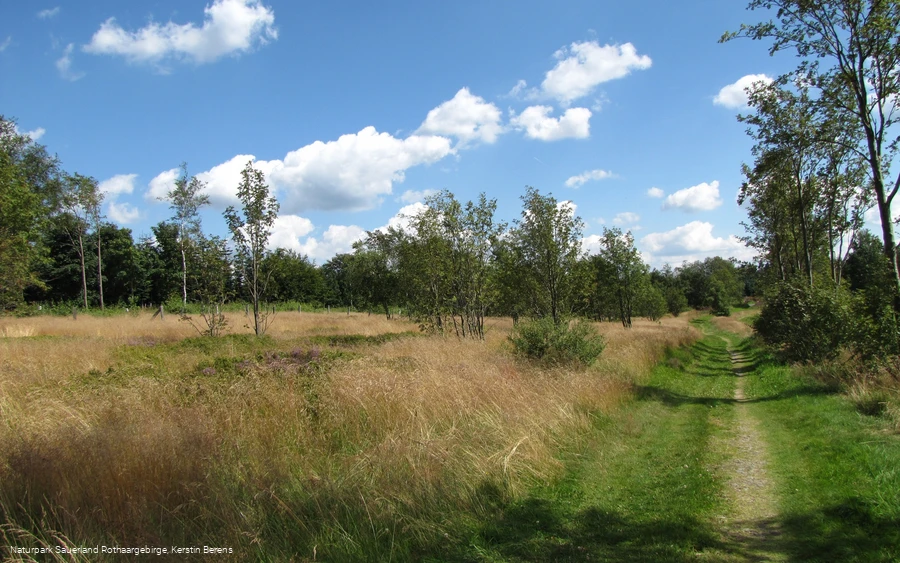
The tour starts at the bus stop Altastenberg, Kirche. From here, the S40 express bus line will take you to Gleidorf, Unterdorf. There you change to the express bus line S90 in the direction of Meschede to the bus stop Bad Fredeburg, Sparkasse. In Bad Fredeburg, walk uphill from the bus stop along the main road to the church. The Sauerland-Höhenflug runs directly through Bad Fredeburg via the church square. To hike towards Altastenberg, turn around the church and follow the Sauerland-Höhenflug signposts towards the Kurpark.The Höhenflug leads through the Kurpark in Bad Fredeburg and climbs steeply up to 565 m behind the Schützenplatz. Above Bad Fredeburg, a wonderful view to the south awaits you at a rest area with a forest sofa swing.The Sauerland-Höhenflug leads to the Magog slate mine with further beautiful views. The Halden piles up high and makes it clear that the Fredeburg slate district is one of the largest slate deposits in Germany. The climb leads through the small village of Huxel with an adjacent refuge and Kalköfen, where lime was once burned. Above Holthausen, on the flank of the Ohlberg, there are wonderful panoramic views far to the south. A refuge with a curved bench and a 2-metre panorama board invites you to take a break.Holthausen itself is home to the Slate Mining and Local History Museum, where interesting facts about slate, rocks, local history and the everyday life of previous generations are on display. The high-altitude route circles the Ohlberg and then leads through deciduous forests along a narrow path to the Sattelbogen. This is where the Sorpetal variant of the Sauerland-Höhenflug begins, which leads through Mittel- and Obersorpe and rejoins the main trail near the Großes Bildchen rest area. At Sattelbogen, we follow the Sauerland-Höhenflug, which now climbs steeply through spruce forests, passes the Jüberg and then reaches the SGV-Hunau hut on the Langer Stein.A short time later, the Höhenflug passes the mighty Bödefeld telecommunications tower, which is the unmistakable distinguishing feature of the Hunau from a great distance and can be seen from the AussichtspunktHunaunear Attendorn on a clear day.The hiking trail reaches the Irreplatz via the Hunauweg. Numerous hiking trails have met here for centuries and the inhabitants of the surrounding villages know that many a hiker has lost their way at this point. Now the forest scenery changes and hikers are accompanied by extensive Buchenwald forests in the Hunau nature reserve. The Hunau natural forest cell is a special feature. In natural forest cells, there is no forest management, i.e. the forest development is essentially left to natural development, so that ideally a primeval forest can develop after a long time. A high proportion of old trees, a lot of dead wood and large tree fungi are the hallmarks of a natural forest cell. Opposite the natural forest cell is the top station of the ski lift in the Bödefeld-Hunau ski area. A large panorama board explains the most important landmarks. Not only is the natural forest cell on the Hunau special, the raised bogs are also rare and endangered. The "Nasse Wiese" nature reserve is a moorland that is over 8,000 years old and is home to rare plant species such as narrow-leaved cottongrass and spotted orchid.Below the Hunau summit, you will come across a very special grave - the dog grave. A faithful hunting dog "Isolde von der Hunau" was buried here in 1936 and a memorial was erected to her.The high-altitude trail continues through beautiful Buchenwald forests over the Hunau and reaches the large hiking parking lot "Großes Bildchen". This is where the Hunau ridge meets the main ridge of the Rothaargebirge. At the "Großes Bildchen" you will come across the Antonius spring and a wayside shrine of the SGV Siedlinghausen section. Numerous sections of the Sauerland Mountaineering Association have also erected their own memorial stone here. The high-level route leads along another natural forest cell and then comes to a beautiful meadow path with an impressive group of oaks, reminiscent of the former hay farming. The Höhenflug continues along a meadow path with a wonderful view of Altastenberg parallel to the K 75 and crosses it. At the entrance to Altastenberg, you leave the Höhenflug. To get to the church bus stop, turn into Renauweg and follow it until you turn right into the street "Am Heidegarten". Follow this road until you turn right again into Bildchenweg. At the end of this road, where you cross the K18, you will find the Altastenberg Kirche bus stop.
Equipment
No special equipment required.
Author Tip
The path leads past the Magog slate quarry. The Halden piles up high here.
Literature
Maps
Public transit
In Altastenberg: The bus stop for the express bus route 40 is located on Astenstraße near the church. To reach the Sauerland-Höhenflug from here, turn into Bildchenweg and follow Am Platz at the crossroads. Follow Zum Heidengarten to the left until you reach Renauweg (K75). The third path on the right, also Renauweg, leads you out of the village and into nature: The Sauerland-Höhenflug is about 60m ahead of you at a fork in the road from the small crossroads.
The Schmallenberg hiking bus also goes to both places! You can reach both places every day except Fridays! More details at http://www.schmallenberger-sauerland.de/freizeit-region/service/kostenloses-busfahren/
How to get there
Altastenberg: From Winterberg via the B 236, then via the L 640.
Parking
In Altastenberg: Hikers' parking lot on the K 75 shortly after leaving Altastenberg, GoogleMaps coordinates: 51.196121,8.46962


