Culinary hike Niedersorpe 2018

#deinsauerland / Neusta Touren / Culinary hike Niedersorpe 2018

Panoramic tour around Niedersorpe, which was experienced as a "Culinary Hike" on May 20, 2018.


2447285


2445357


2445384


2445385


2445393


2446060

Tour starting point:

Hiking board Niedersorpe

Tour destination point:

Hiking board Niedersorpe

Properties:

  • Family friendly
  • Refreshment stop
  • Circular route

Category

regionaler Wanderweg

Length

9.5 km

Duration

3:30 h

Elevation ascent

265 m

Elevation descent

265 m

Lowest point

412 m

Highest point

568 m

Condition

Difficulty

Recommended seasons

J F M A M J J A S O N D

The hike starts at "Müllers Hof" and leads around the federal gold village of Niedersorpe. The route offers wonderful views of the mountains and valleys of the Schmallenberg Sauerland.

Food vending machine Hof Müller


2695242

The Hof Müller vending machine with food from the region is located at the entrance to Niedersorpe (coming from Winkhausen).

Read More

Hiking portal and Niedersorpe hiking parking lot


2695239

Starting point Sauerland-Wanderdorf region - Niedersorpe

Read More

Forest swing Niedersorpe


2445393

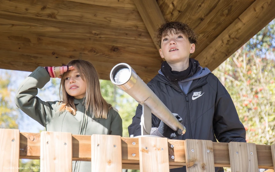
Here you will find a forest swing and a hut with a wonderful view of Niedersorpe

Read More

Refuge at the White Cross


2695240

Shelter at the white cross near Niedersorpe.

Read More

Gallery Klute in the Waldemai


2445384

Art forge with gallery and sculpture park.

Read More

0 km 2 km 4 km 6 km 8 km 400 m 425 m 450 m 475 m 500 m 525 m 550 m 575 m 600 m 625 m 431 574

Information

Directions

The hike first leads along the Sorpe panorama trail, past Gerwenshof and Gasthof Wulbeck, uphill out of the village. After approx. 400 meters, the path turns left and leads past the forest swing, with a beautiful view of Niedersorpe, towards the golf course. A few meters after the forest swing, go straight ahead with the Golddorf Route Niedersorpe. Follow this hiking sign to the Knollenhütte, the White Cross. From there, follow the hiking sign W3 in the direction of Niedersorpe until you reach the Waldemei art forge.There you will come across the Golddorf Route hiking sign again. Follow this, cross the road, take the path steeply uphill and hike along the Burgberg, pass the Holthausen sports field and hike back to Niedersorpe.

Equipment

We recommend that you bring sturdy shoes and sufficient food and drink.

Safety guidelines

A rescue point system has been installed in the Hochsauerland district. Rescue points can be found on the information boards at junctions and on hiking signs.

Author Tip

Alternating with the Advent market in Niedersorpe, the culinary hike around Niedersorpe takes place every two years. Culinary delicacies are offered at various stands along a 10 - 12 km route.


More information and dates: www.sorpetal.de

Maps

Schmallenberg-Sauerland hiking map, scale: 1 : 25,000

Parking

Free parking is available at the hiking parking lot in Niedersorpe.

Interesting places in the neighbourhood

Wir binden die Videos der Plattform “YouTube” des Anbieters Google LLC, 1600 Amphitheatre Parkway, Mountain View, CA 94043, USA, ein. Datenschutzerklärung: https://www.google.com/policies/privacy/, Opt-Out: https://adssettings.google.com/authenticated.