- Circular route
VolmeSchatz - Mountains and valleys: "remarkable" distant views
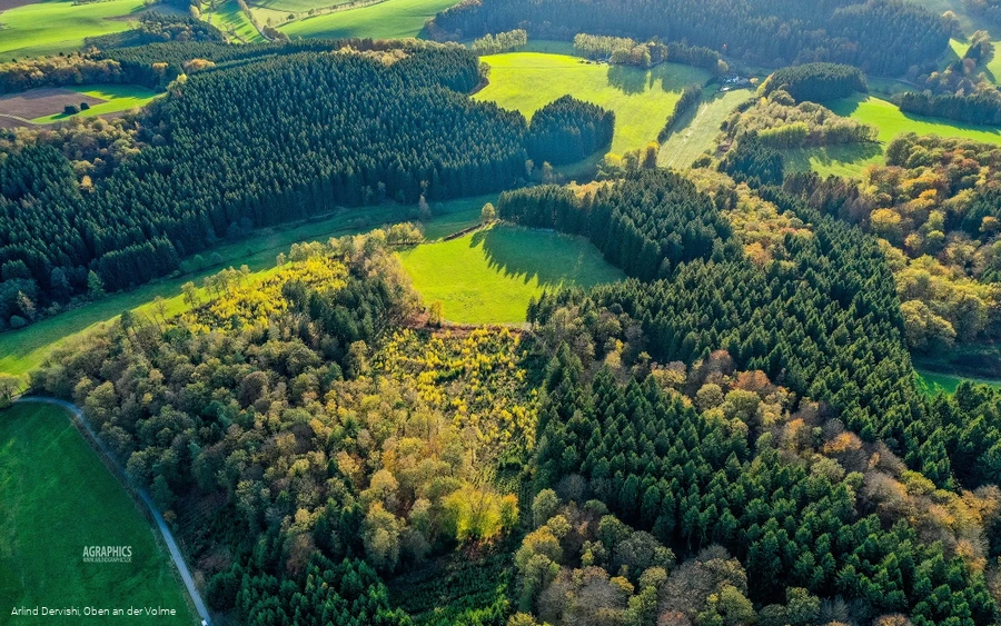
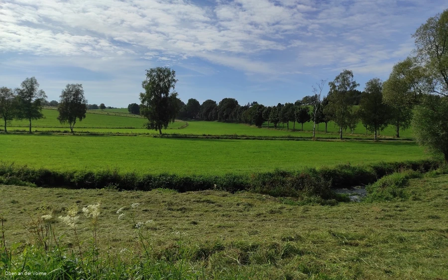
On this tranquil loop between Halver and Radevormwald, an up and down awaits the hiker - also the emotions, because on the one hand there are "remarkable" distant views & on the other idyllic panoramas.
Tour starting point:
Hiking parking lot Ennepetal / Nordeler Schleifkotten
Tour destination point:
Hiking parking lot Ennepetal / Nordeler Schleifkotten
Properties:
Additional Information
There is a QR code on each (themed) information board, which you can use to call up the route and details of the trail. Selected information boards are equipped with an additional QR code. Exciting additional digital information is waiting to be discovered by you.
As guests in the forest, we show understanding, respect and correct behavior to ensure the use, protection and recreation of our forest.
Category
ThemenwegLength
8.4 kmDuration
2:17 hElevation ascent
170 mElevation descent
170 mLowest point
321 mHighest point
396 mCondition
Difficulty
The starting point of the themed hiking trail in the Oben an der Volme region is the "Nordeler Schleifkotten" hiking parking lot to the south of Niederbuschhausen (an alternative starting point is the Schwenke parking lot with a hiking overview station at the sports field there). The hiking information boards along the trail offer an insight into the impressive views & panoramas of the region, whereby the term "panorama" here is not only aimed at distant views, but also puts great "sights" in the region in perspective.
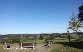
The highlight of the themed hiking trail is the detour to the sports field in Halver-Schwenke; the rest area "Gateway to Südwestfalen" entices with distant views towards Breckerfeld, Lüdenscheid and Nordhelle. A short excursion to the "Kreisch" also rewards you with a great view over hills and forests, meadows and fields as well as the Ennepetalsperre dam.
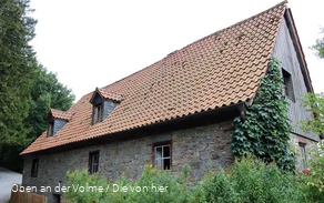
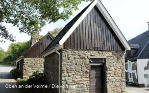
At the lowest point of the route, after 5 km, is the Löher Mühle (Löhrmühle) in the Ennepe valley. The water-powered Kornmühle was first mentioned in a document in 1552, but probably already existed in the 15th century. The quarrystone and half-timbered buildings were extensively restored in the 1980s. Unfortunately, the mill can only be visited from the outside, but it is well worth it.
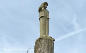
Special features along the way: in addition to the information boards with exciting information and sometimes QR codes for further videos or audio tracks, you can also discover a panoramic picture frame along the way.
Information
Directions
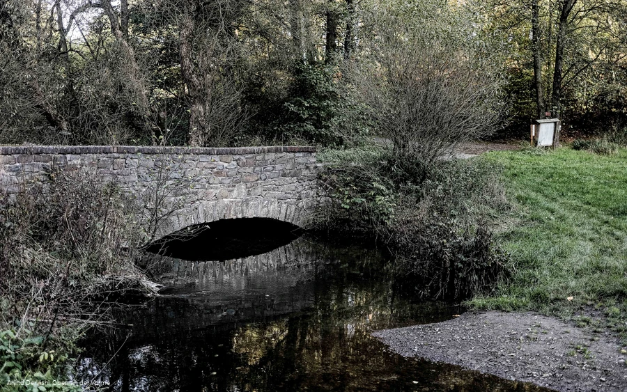
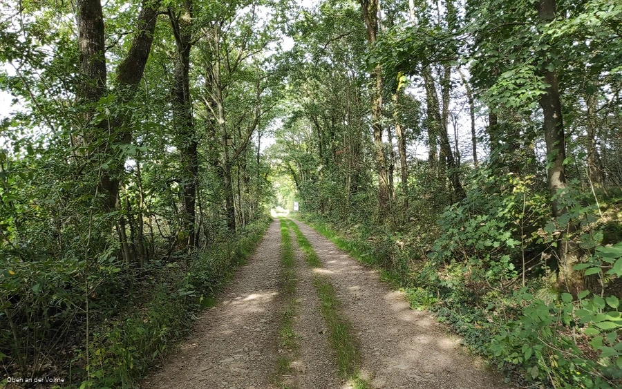
Forest paths and small roads alternate on this relaxed hiking circuit. Whether through (beech) forests or along fields, this VolmeSchatz is something for almost everyone and offers a fantastic viewpoint with the highlight, the "Gateway to Südwestfalen".Trail conditionsRoad & asphalt: 4.6 km - Gravel path: 1.7 km - Nature trail: 2.1 kmThe trail starts at the small Ennepetal hiking parking lot and follows a forest path along meadows and small woods. The path now bends to the left and leads us up the hill before turning onto a forest path again at the hairpin bend. From here, following the asphalted path, you can also take a detour "up the Kreisch" and enjoy the distant view. The hiking trail itself leads back into the valley before the next ascent up to Becke follows. Turning right on the hill, the path now leads to Brenscheid and then up through the forest towards Löhrmühle. From the valley, the path now leads uphill again, this time in the direction of Schüreichhofen. Once at the top, a short detour to the "Gateway to Südwestfalen" is recommended before the path continues along the hill and leads around the Bollberg back to the starting point.An alternative start to the hike is possible at the Schwenke parking lot at the local sports field. A hiking information board here provides an overview of the local trails.
Safety guidelines
First aid: In an emergency, dial the emergency number 112 and state the rescue point number. Rescue points are access points marked in the forest for rescue vehicles. If the nearest rescue point is not known, your location can be called up directly via AML (Advanced Mobile Location) during the emergency call.
Author Tip
There are QR codes on the hiking boards along the themed trail that can be used to call up additional digital content using a smartphone.
Literature
Hiking map Oberes Volmetal - Second edition - ISBN number 9 783866 369207
Maps
The trail flyers for the individual VolmeSchatz hiking trails are available at the local tourist information offices and other distribution points in the region.
Public transit
The tour or the starting point of the tour is unfortunately difficult to reach by public transport.
The alternative start of the hike from the Schwenke (hiking) parking lot at the local sports field can be reached with the Märkische Verkehrsgesellschaft bus line 134. It is a short walk uphill from the bus stop to the sports field. Further information can be found at https://www.mvg-online.de/.
How to get there
From the B229 - between Halver and Radevormwald - the road bends into the Enneptal valley in a hollow. Follow the narrow road until you finally reach the small parking lot for hikers.
Parking
There are a few parking spaces available for cars at the small hiking parking lot in Ennepetal.
Alternative access from the Schwenke (hiking) parking lot, adjacent to the local sports field with free parking.
