- Refreshment stop
- Circular route
VolmeSchatz - Field, farm and cattle: about "simple country life"
The "goose feet" give you an idea: Country life may have been simple in the sense of "less luxurious" in the past, but not "easy". A themed route to the basics of provisioning.
Tour starting point:
Heesfelder Mühle
Tour destination point:
Heesfelder Mühle
Properties:
Additional Information
There is a QR code on each (themed) information board, which you can use to call up the route and details of the trail. Selected information boards are equipped with an additional QR code. Exciting additional digital information is waiting to be discovered by you.
As guests in the forest, we show understanding, respect and correct behavior to ensure the use, protection and recreation of our forest.
Category
ThemenwegLength
6.8 kmDuration
1:55 hElevation ascent
116 mElevation descent
116 mLowest point
275 mHighest point
384 mCondition
Difficulty
The journey into the past begins at the Heesfelder Mühle (www.heesfelder-muehle.de), an agricultural project of the Heesfelder Mühle e.V. with an organic store, café (Café Heimatliebe, www.cafeheimatliebe.de), restored village school ... and there is a lot to see here: about historical, conventional agriculture as well as about contemporary, environmentally conscious ecological cultivation of fields and forests.
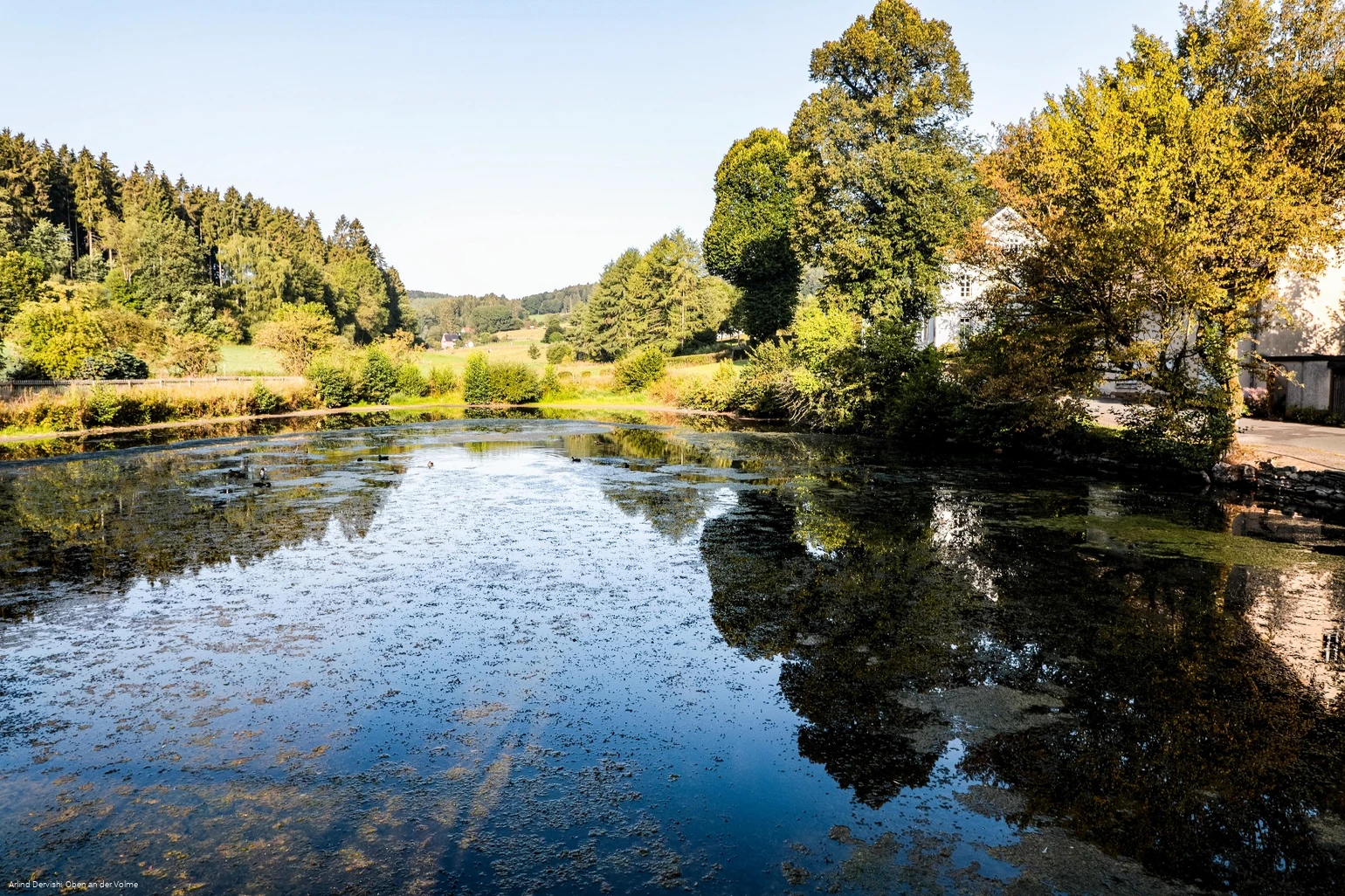
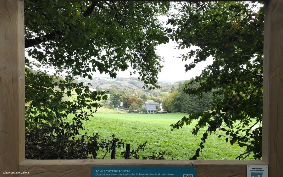
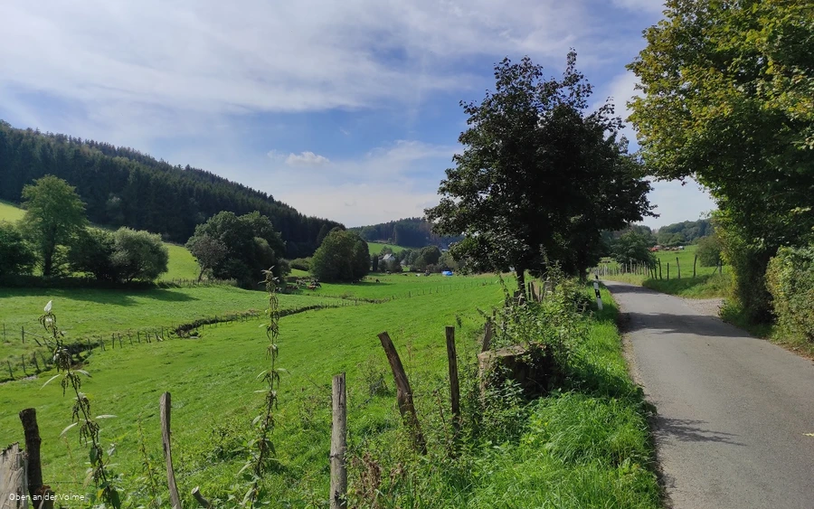
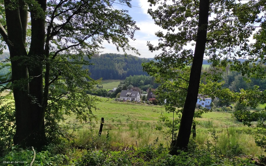
From the nature conservation center, the hike leads through the Schlechtenbach valley and later back through the Steinbach valley. You will pass many (former) farmhouses, fish ponds, meadows and meadows. Themed boards along the way provide vivid information about (historical) agriculture in the Volme region; additional digital content can be accessed via QR codes.
A great excursion, especially with children, who will love the farm atmosphere. The environmental protection projects of the Heesfelder Mühle raise awareness of ecology and resource conservation.
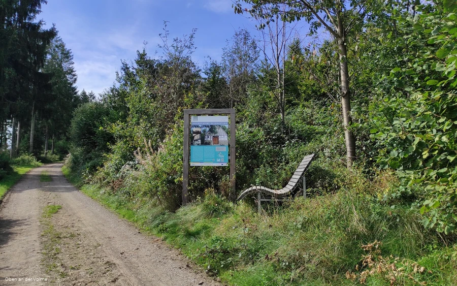
Special features along the way: in addition to the information boards with exciting information and some QR codes for further videos or audio tracks, you can also discover a panoramic picture frame along the way.
Information
Directions
Ideal for an extended Sunday walk or hike, this hiking route leads along small roads and forest paths through the Schlechtenbach and Steinbach valleys. Please note: the route also runs alongside a country road for a few meters!Trail conditionsRoad & asphalt: 3.3 km - Gravel path: 3.3 km - Nature trail: 0.2 kmWe start at the historic ensemble of houses of the Heesfelder Mühle in the direction of Carthausen. After a short stretch along the road, we turn off in the direction of the aforementioned village. We have now arrived in the Schlechtenbach valley, with the course of the stream running below the route. We follow this path to Ober-Carthausen, where the themed hiking trail now bends to the right and leads up into the forest. Keeping to the right again, the forest path now leads along above the aforementioned valley; various themed boards with interesting information about historical agriculture await hikers here.After a while, the path leads out of the forest again and follows the small, asphalted road for a few meters. We quickly turn right again and reach the Steinbach valley. Here, too, the forest path now leads us through the valley, sometimes on narrower paths. A themed board provides interesting information here too, before the path now leads uphill and we reach the settlement of Steinbach. From here, we return to Heesfelder Mühle.
Safety guidelines
First aid: In an emergency, dial the emergency number 112 and state the rescue point number. Rescue points are access points marked in the forest for rescue vehicles. If the nearest rescue point is not known, your location can be called up directly via AML (Advanced Mobile Location) during the emergency call.
Author Tip
On the way back, enjoy coffee and cake in the café at Heesfelder Mühle!
Literature
Hiking map Oberes Volmetal - Second edition - ISBN number 9 783866 369207
Maps
The trail flyers for the individual VolmeSchatz hiking trails are available at the local tourist information offices and other distribution points in the region.
