- Summit
- Family friendly
- Refreshment stop
- Circular route
- currently closed
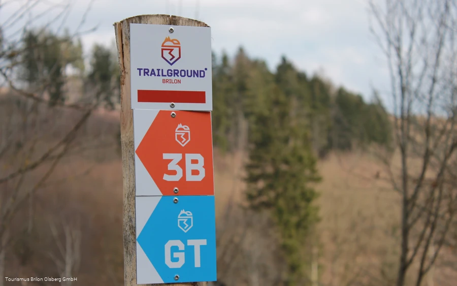
TrailGround Brilon - Three Mountains Trail
At 17.3 km, the Drei-Berge-Trail is the longest of the 3 tours in the TrailGround® Brilon.
Tour starting point:
Parking lot opposite Gasthof Gruß, Am Hängeberg
Tour destination point:
Parking lot opposite Gasthof Gruß, Am Hängeberg
Properties:
Category
Mountain bike tourLength
17.3 kmDuration
1:55 hElevation ascent
505 mElevation descent
291 mLowest point
478 mHighest point
613 mCondition
Difficulty
Longest tour in the TrailGround Brilon, covering the entire area.
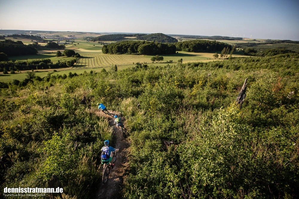
The TrailGround Brilon: three singletrail circuits between 7 and 17 kilometers start almost directly on the outskirts of the town. The trails offer riding fun for everyone and a scenic experience with fantastic views over the Sauerland and the Brilon
plateau.
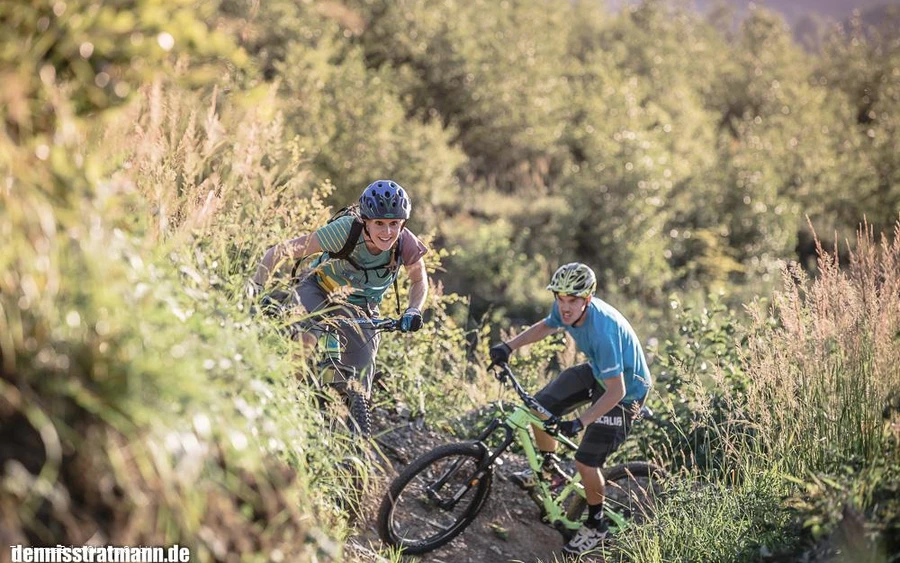
The trails on the Hängeberg, Bilstein and Plattenberg are not just suitable for experts - riding enjoyment takes precedence over technical challenges here.
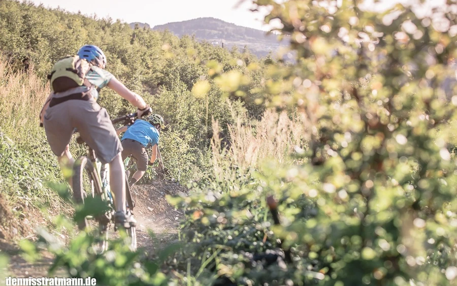
Moderate climbs and smooth descents are the hallmarks, with no steep uphill or downhill sections. On many sections, waves, berms and small kickers provide additional riding fun - the difficulty of the TrailGround Brilon increases with the speed.
Information
Directions
From the parking lot, cross the road in the direction of Gasthof Gruß. Shortly before the inn, the signs point left to the"Hängeberg Trail". After crossing the Hängeberg, the trail goes up to the L870, crosses it and continues parallel to the Geologischer Sprung hiking trail up towards Bilstein, leaving the refuge on the right and continuing straight ahead to the"summit climb" on the right. Once at the top, you can decide whether to take a detour to the viewing platform on the Bilstein or go straight down theBilstein Downhill. Then it's down the"rollercoaster" and now it's time to relax in the direction of Plattenberg. After crossing the L913, we pass the archery course and turn left behind the Berggasthof Kemper onto the"Rundum den Plattenberg" trail to the"Schwarzer Haupt" and back past the archery course towards Bilstein. Turn left uphill until you turn right again onto the beautiful"Panorama Trail". This is followed by the"Kyrill Uphill" and the"Schöne Aussicht" before you are led back to the parking lot.
Equipment
Safety guidelines
Rules of use:
" Use of the TrailGround Brilon is free of charge.
" Use of the trails is at your own risk and the usual forest hazards and artificial obstacles are to be expected. The trails are exposed to the weather and use by the users and can change adversely depending on the weather and use. Every user accepts that falls and damage can occur, even when used properly and especially as a result of weather conditions.
" Wearing a bike helmet is mandatory!
" The prescribed direction of travel must be observed at all times!
" Ride at a speed that allows you to stop in front of obstacles at any time.
" Riding in the TrailGround is prohibited in the dark.
" On all paths outside the marked single trails, consideration must be shown for other nature users! Users are obliged to behave at all times in such a way that they do not endanger themselves, other users or third parties.
" Modifications to the trails are prohibited.
" The TrailGround Brilon trails are closed in winter from November 15 to March 15.
Author Tip
A detour to the Bilstein viewing platform is worthwhile in any case. Please share the ascent/descent with the hikers....Please take care on the descent!
Literature
Maps
Public transit
How to get there
Southern outskirts of Brilon
Intersection of B251 and L870
51°22'40.1 "N 8°35'22.8 "E
51.377795, 8.589658
