- Culinary interesting
- Family friendly
- Nature highlight
- Culturally interesting
- Refreshment stop
- Circular route
- Tour with dog
- Good public transport connections
- Mostly sunny
- free of charge / accessible at any time
The "Rabennest-Route" in and around Kallenhardt
Tour starting point:
St. Clemens Church Kallenhardt
Tour destination point:
St. Clemens Church Kallenhardt
Properties:
Additional Information
Category
regionaler WanderwegLength
19.2 kmDuration
5:18 hElevation ascent
358 mElevation descent
363 mLowest point
313 mHighest point
436 mCondition
Difficulty
This circular hiking trail on the Sauerland-Waldroute takes hikers through the beautiful mountain village of Kallenhardt. There is plenty to discover along the way! A special highlight is the Lörmecketal nature reserve where the Hohle Stein rises.
Information
Directions
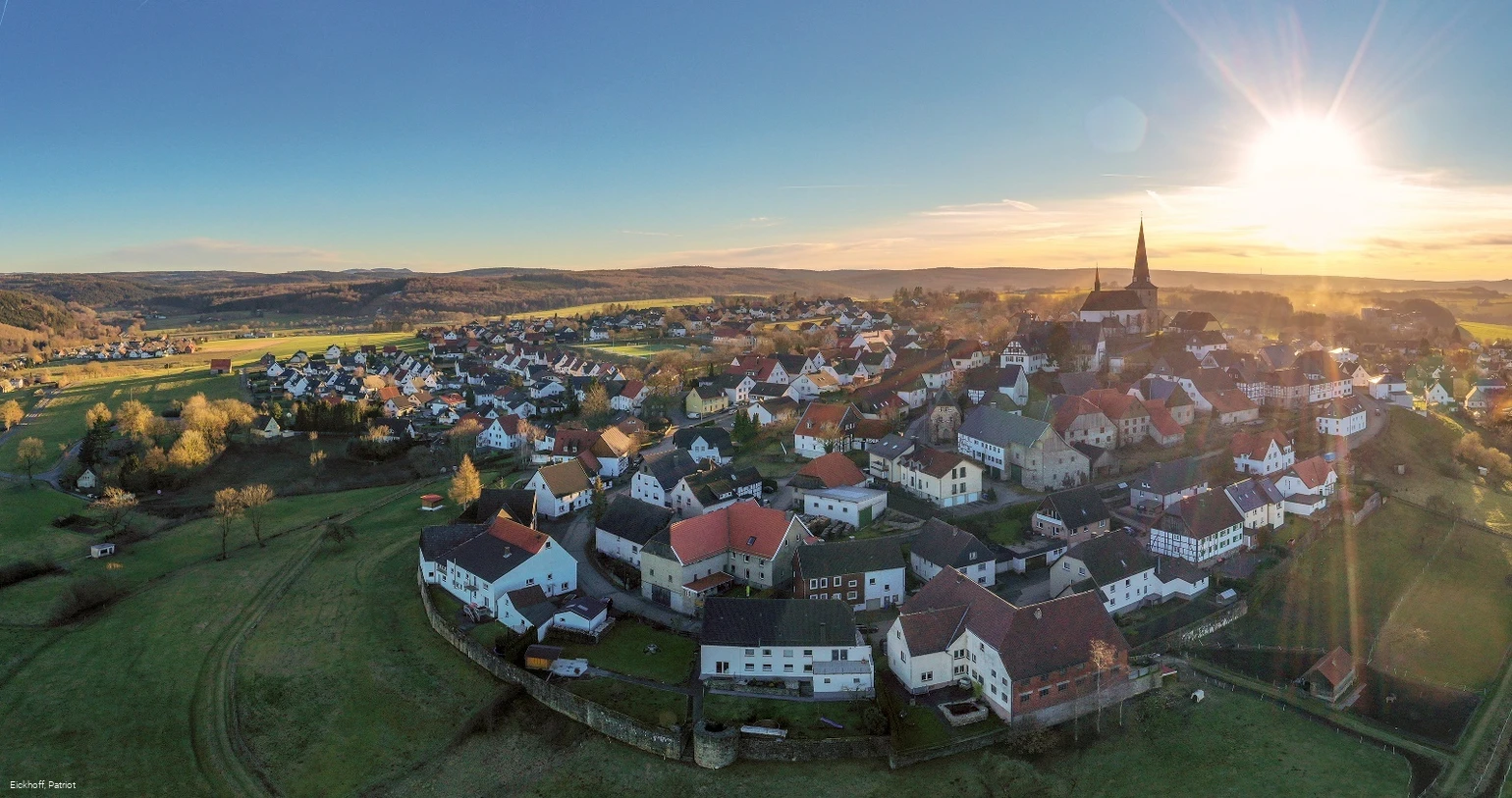
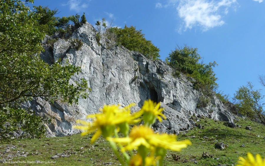
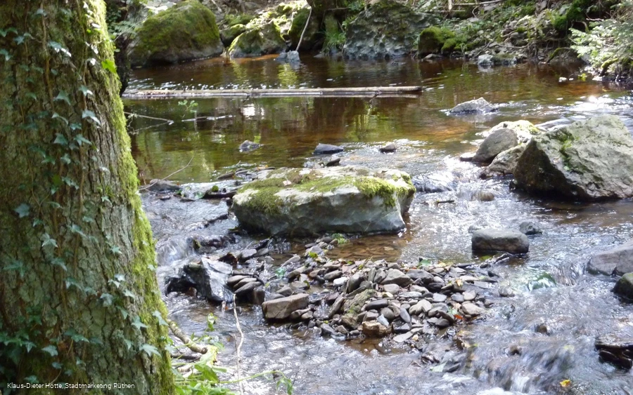
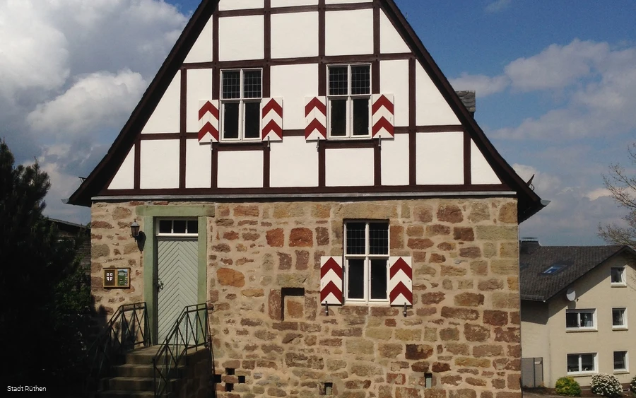
The Waldroute circular trail starts at St. Clemens Church. As a motivating start, hikers can look forward to a charming panoramic view of the Arnsberg Forest Nature Park. We follow the Kirchstraße past the Kallenhardt elementary school and follow the "green W on a white background" marker with the addition "Rabennest-Route".After approx. 200 m, the first sight awaits us on the left: the former town hall, built in the 15th century in the late Gothic style - one of the oldest in Westfalen - was the center of municipal life in Kallenhardt until 1809 (abolition of privileges). For many centuries, it was the place where the mayor, magistrate and courts carried out their sovereign and representative activities. We turn right and follow Burgtorstraße until we reach the "Mühlentwietken" path (= mill path) after approx. 250 m on the left. The path now descends steeply, allowing us to enjoy the view of the Calvary opposite. There is an information board about the Kattenstein cave at the next crossroads. However, the inside of the natural cave itself can only be visited by prior arrangement with the nature and environmental protection association BUND (Lörmecketal local group, tel.: 02902/78873). For a brief impression, follow the wooden directional arrow to the cave area, which was designed by the aforementioned initiative with a lot of time and effort in a nature-oriented way. Following the route signs, we soon come across the next sight: the Siechenkapelle chapel. This building was first mentioned in 1563 as "Seeken Hüseken" and was used to house people suffering from leprosy, a common disease at the time, in a secluded area outside the town walls. After about 200 m, a longer ascent leads us to the next historical site, the Calvary. This area was the site of an old Christian Way of the Cross of the parish of St. Clemens Kallenhardt, which is already marked on a map from the mid-18th century as "Siebenfußfallberg", which indicates the number of original devotional stations (presumably wooden crosses). Today's 14 wayside shrines of the Calvary were made by the Brilon master stonemason Peter Hilkenbach between 1877 and 1889 from Rüthen green sandstone. We now continue our ascent, accompanied by the aforementioned Stations of the Cross. We have passed half of them when we reach a forest path that crosses them. We keep to the right here and continue along this forest path for approx. 2.5 km until we cross the Glenne river. On this section of our hike, we are accompanied by charming views of the Kallenhardt mountain cone and the Arnsberg Forest Nature Park, where you should also be aware of the soothing silence and fresh air!We continue along the path until we reach a refuge where we can reward ourselves for our efforts with a short rest. Following the signposts, we soon see a meandering stream with red alder trees below the valley. After approx. 2 km, we reach the Sutlindenkopf (=southern Lindenhöhle) and pass the Jagdhaus Hirscheck. Now we keep to the right and continue for approx. 500 m. Then we also follow a gravel forest path on the right until we see an underpass on the left. Using a narrow bridge there, we now cross under the L776 and continue walking until we reach the boundary between the forest area and the open field. Here you can take a short detour to the left to take a closer look at an old Köhlerhütte. This faithfully recreated seasonal shelter of the former charcoal makers was built in 2008 as part of a cooperation between Kallenhardt clubs. Following a climb to the right, we continue below the forest boundary until we arrive at the Rabennest parking lot. At the nearby Warstein Bike Park, you can stop for a bite to eat at the "Hütte mit Herz". After refreshments, we continue along the trail and enjoy the view of the Lörmecketal valley ahead of us. Following the signs, we pass the Hohler Stein parking lot until we pass a barrier on the left and enter the Lörmecketal nature reserve, which covers over 250 hectares. The Warstein limestone massif rises up in front of us, creating an impressive natural stone backdrop. The Hohle Stein awaits us as we continue on our way. This rock monument, washed out by tributaries of the Lörmecke over millions of years of geological history, was formed southwest of Kallenhardt. During archaeological excavations in the 1930s, finds from different eras since the last Ice Age were discovered in the two cave areas. The traces of man found here date back to his early hunter-gatherer phases around 10,000 BC, giving this site a very rare prehistoric significance. Some enigmatic relics have also surrounded this cave with mysterious sagas and legends, some of which have even found their way into modern Nibelune research (e.g. Heinz Ritter-Schaumburg). We now follow the course of the Lörmecke in a valley depression until another rock formation, the Hoher Stein, rises up in front of us. Below us is a large area of Wacholderheide with its specific bushes and trees. To our left, the river has dug deep into the valley. Along our route, we come across information boards for the special "FliessWege" themed hiking trail, which provide interesting information about the different sections of the terrain. Following this route, we are now accompanied by a number of giant trees that have been integrated into the existing ecosystem. At the end, we turn right onto a tarmac path and follow the special trail signs mentioned above to our starting point, St. Clemens Church in the center of Kallenhardt. We stop off at one of the inviting inns in Kallenhardt to reflect on our impressions over delicious food and drinks.
Equipment
Safety guidelines
Author Tip
- "Hohler Stein"cultural cave in the Lörmecketal nature reserve
- Bachschwinde below the "Hoher Stein" - cross the Lörmecke using the wooden bridge - the Bachschwinde area is explained in more detail with the help of an information board


