- Family friendly
- Refreshment stop
- Circular route
Photo route Oberhenneborn - Landscape in focus
Tour starting point:
Hikers' parking lot "Todesbruch" in Oberhenneborn
Tour destination point:
Hikers' parking lot "Todesbruch" in Oberhenneborn
Properties:
Additional Information
Further information about the Oberhenneborn Federal Gold Village can be found at www.oberhenneborn.de.
The accompanying flyer including detailed directions is available here.
Category
ThemenwegLength
9 kmDuration
3:30 hElevation ascent
235 mElevation descent
235 mLowest point
421 mHighest point
617 mCondition
Difficulty
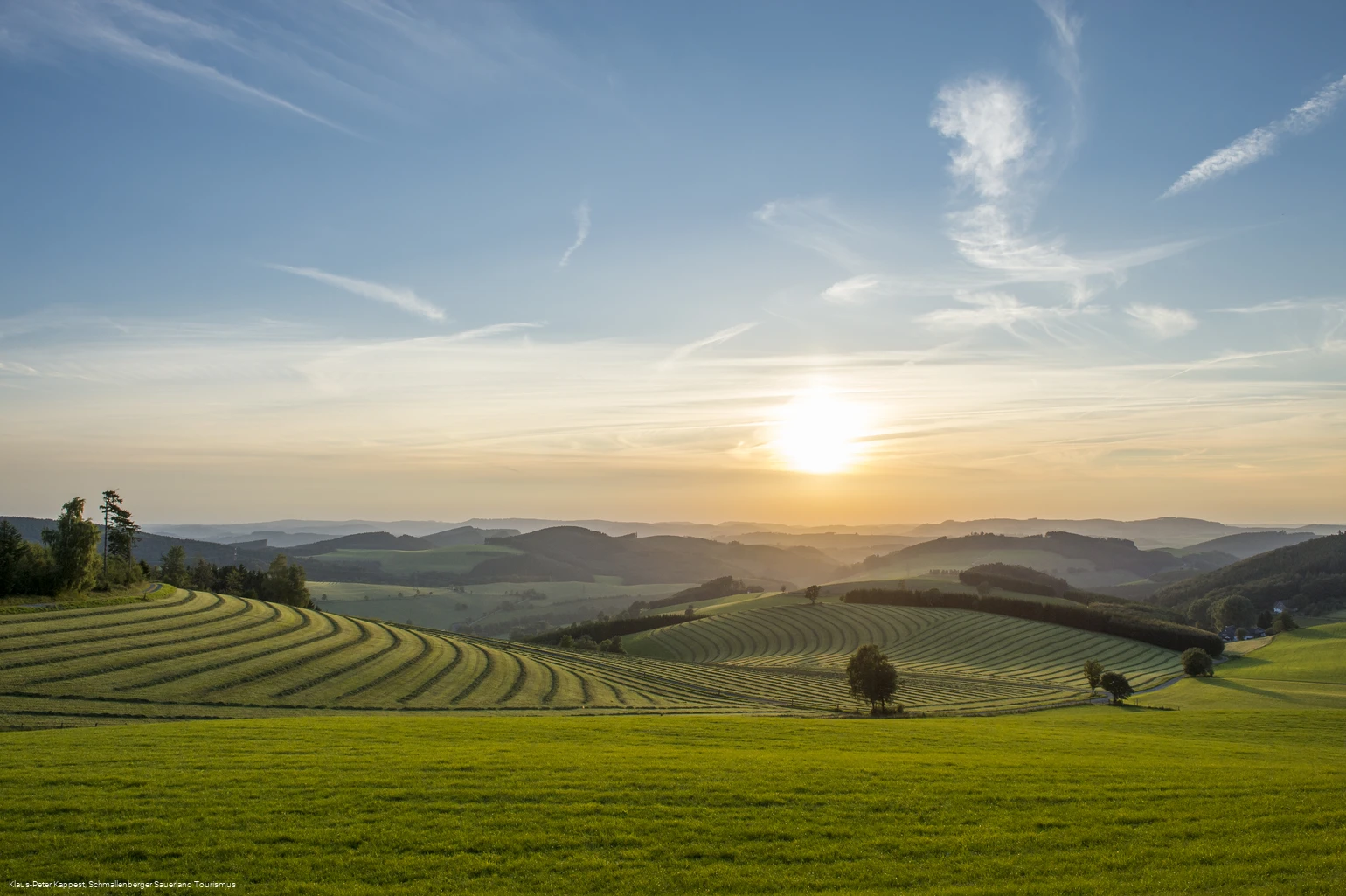
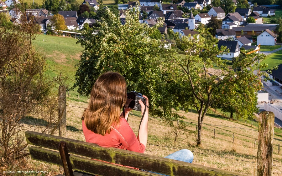
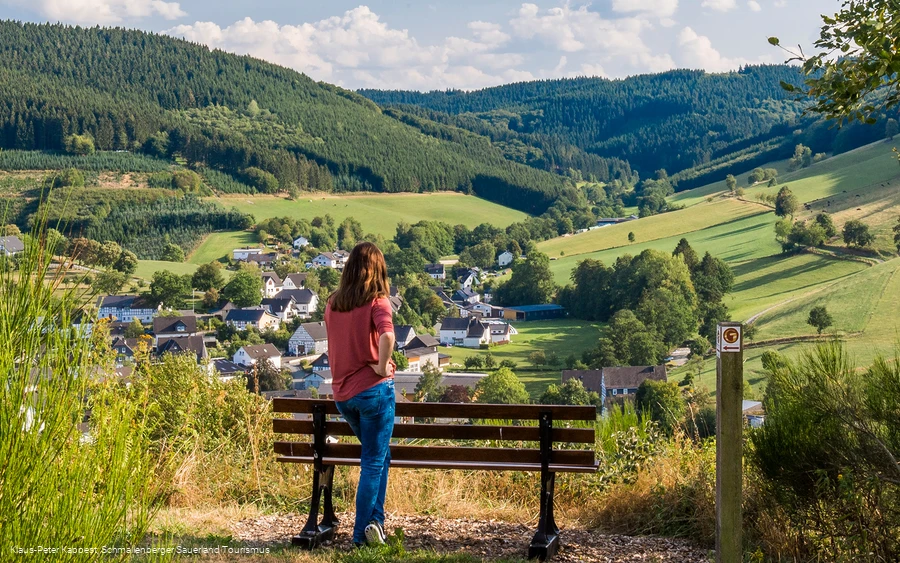
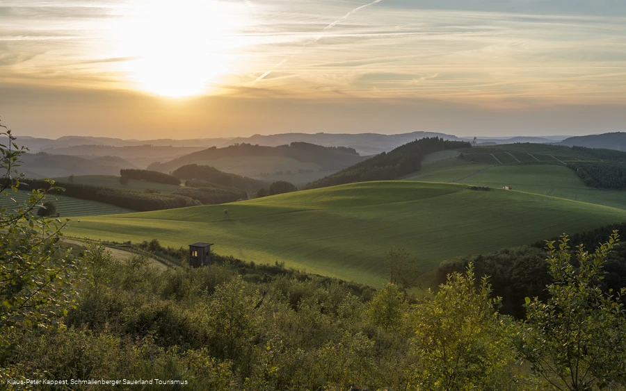
Discover the Sauerland and the Bundesgolddorf Oberhenneborn from your photographic side. Developed together with the well-known landscape photographer Klaus-Peter Kappe, the tour takes you around 9 km past particularly scenic spots and explains many tips for professional photography in a way that is also understandable for laypeople. The focus is not necessarily on the use of high-quality technology, but rather on understanding a meaningful visual language and the experience of nature. The Oberhenneborn photo route can therefore be experienced with a good cell phone camera as well as with professional equipment! You should plan approx. 3 to 4 hours for the tour, depending on your mood for photography.
Would you like to share your photos with others? Then use the hashtag #fotoroute when posting on social networks
Information
Directions
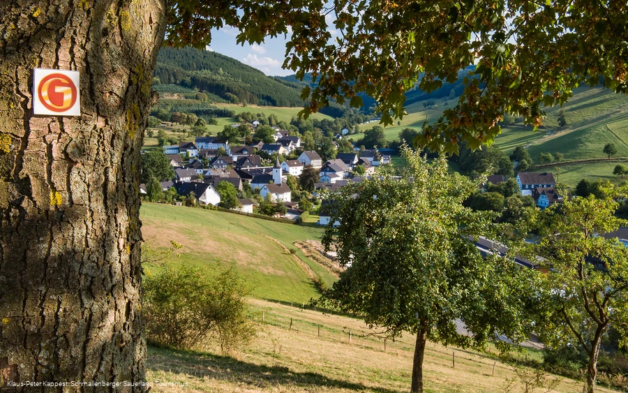
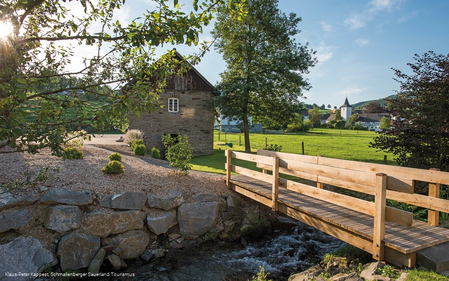
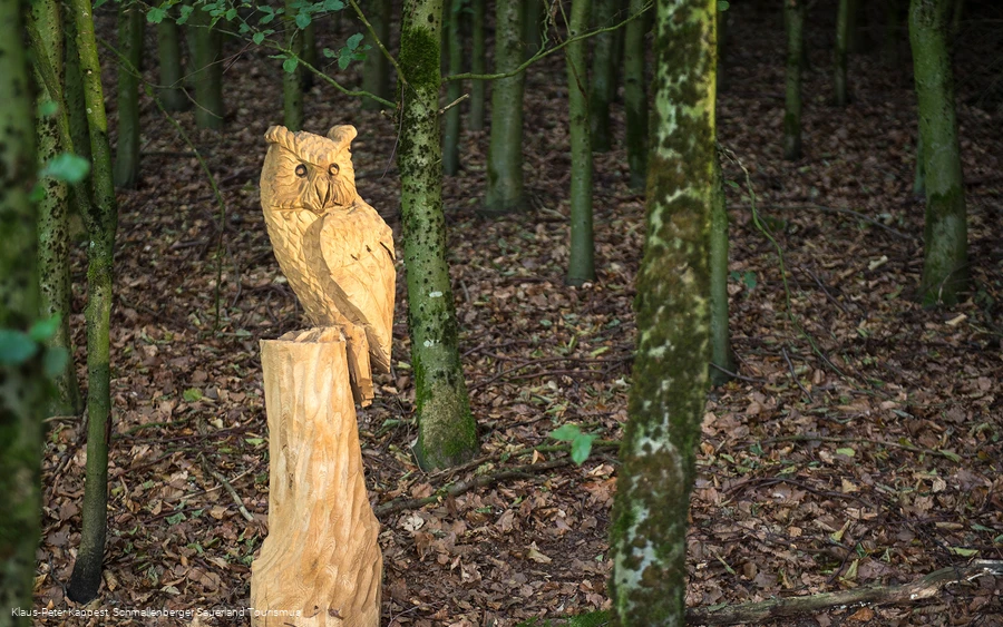
From the starting point, the "Todesbruch" hiking parking lot in Oberhenneborn, first follow the Golddorfroute Oberhenneborn. After the ascent across the meadow, leave the Golddorf route (this branches off to the left) and turn right onto the OH3. After approx. 50 m you will reach the first stop on the photo route. Now follow the OH3 until you reach the "main road" (Hennetalstraße) in the village and then turn left. After approx. 150 m you will see the old bakery on the right-hand side, stop 2 on the photo route.You then cross the wooden bridge, pass the stable of the farm and turn right onto the asphalt road. After approx. 200 m, turn left (towards the church) and follow the road towards Wüllner's Landgasthof. Shortly before the country inn, turn left into the street "Zum Kreuz". After approx. 75 m you reach the third station. You now follow the Oberhenneborn Golddorf route for a long time, initially uphill along the Way of the Cross. After approx. 350 m, the Golddorf route turns left and the bee nature trail begins - continue to follow the Golddorf route and after another 200 m you will reach the next photo point. Following the sign for the Golddorf route, the path turns right after a short while and leads up a small climb across the meadow. At the top, you will find the fifth stop on the photo route on the right-hand side. Now continue to follow the golden "G" and pass the Kreuzkapelle chapel (open during the day).After a further ascent along the asphalt road (which turns into a gravel path at the end), you will soon reach the next stop on the photo tour - the "selfie point". After completing this point, walk back along the path for approx. 15 m and then, between the two fields, continue along the Golddorf route until you see an old barn. Walk towards it and leave the Golddorf route again. Immediately after the barn, you come to a country road and turn left. After approx. 50 m, turn right again and continue along the asphalt road. After a few meters you will reach the "Goldener Schnitt" station and after another 300 m the "Goldener Schnitt bei Landschaftsbildern" station. Continue along the asphalt road, which turns into a gravel path after a few meters. After the "bench between the 3 birch trees", you will soon reach a turning point. At this point, turn sharp left and follow the path until you reach the highlight of the photo route - the "Am Homberg" panoramic view.Continue along the path and turn left onto the OR2 at the next junction. After a short descent, you will find the next photographic challenge. Now continue along the OR2 hiking trail until you reach a busy road again at the chapel in Oberrarbach. Follow this road to the right for approx. 50 m (watch out for traffic!) and then turn right again onto the asphalt farm track. Follow this path for 1.5 km until you reach the SGV hut "Eulennest". The next photo station is located by the stream below the SGV hut, to which a clearly visible path leads. After completing this station, return to the SGV hut and turn left onto the hiking trail towards Oberhenneborn. After around 900 m, you will reach Oberhenneborn and your starting point, the hiking parking lot at the "Todesbruch".
Equipment
Safety guidelines
Author Tip
Family tip: On one section of the photo route there is an educational bee trail with lots of interesting facts about the exciting life of bees.
Literature
For photo lovers of the Schmallenberg Sauerland we recommend the illustrated book "Lebensart - Schmallenberger Sauerland und Eslohe" by Klaus-Peter Kappe (ISBN 978-3-9808413-3-7). Further information...
Maps
Public transit
How to get there
Parking
In addition to the hiking parking lot on the "Todesbruch", there are other parking spaces in the village.
Please enter the address "Alte Schule 1, 57392 Schmallenberg" in your navigation device. From there, you can join both the Golddorf route and the photo route in just a few minutes on foot.
