- Circular route
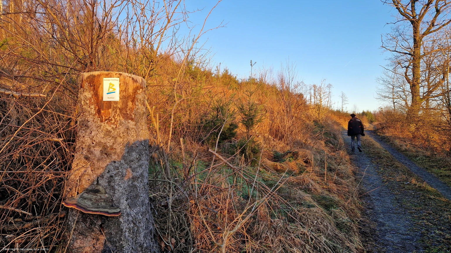
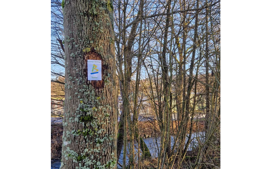
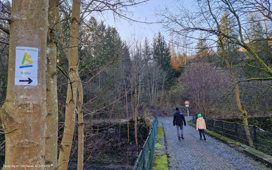
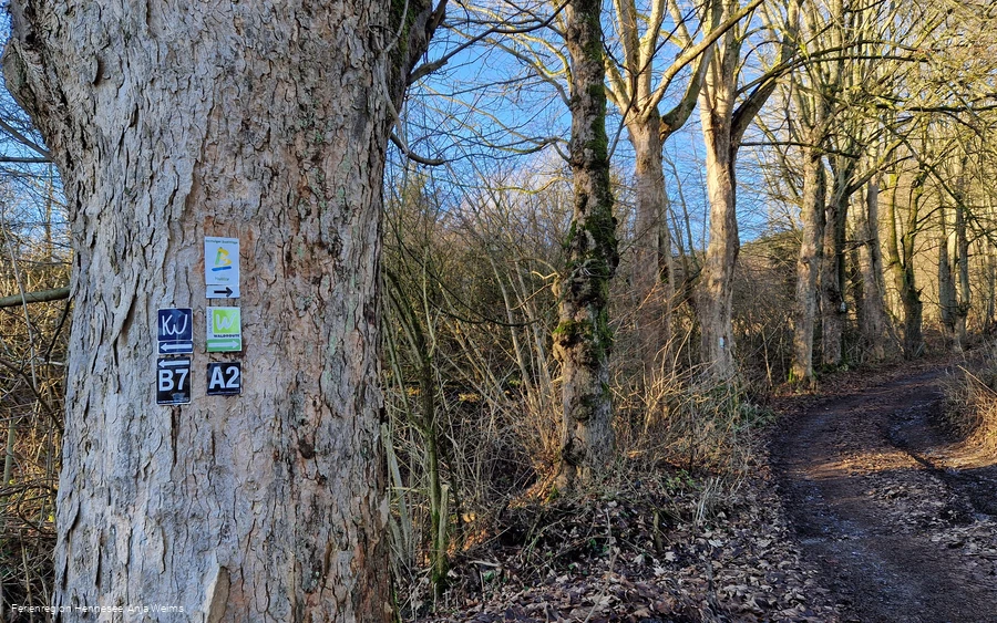
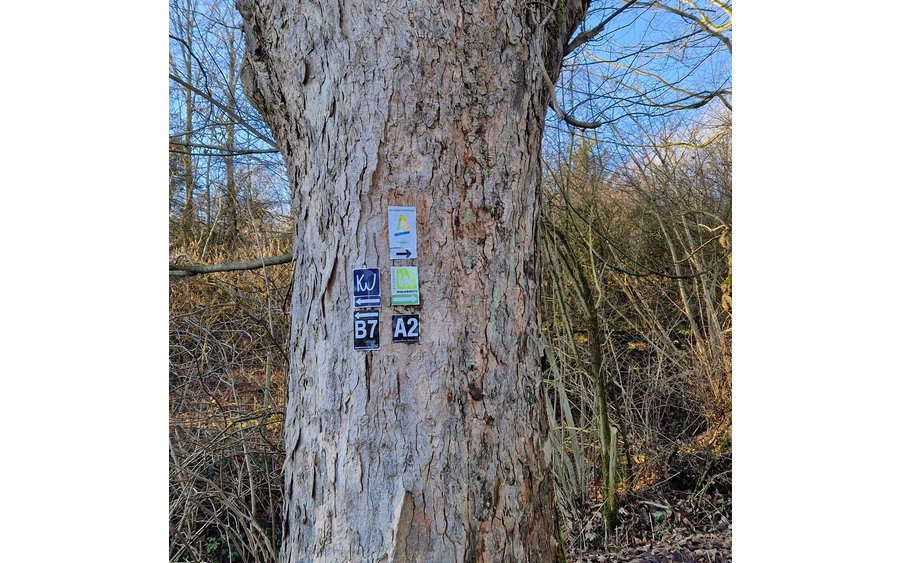
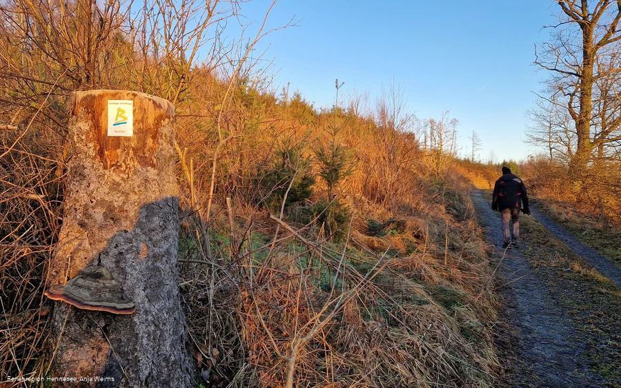
- Signage
- Tour with dog
- Good public transport connections
- Mostly sunny
- free of charge / accessible at any time
BestWay Nuttlar
Tour starting point:
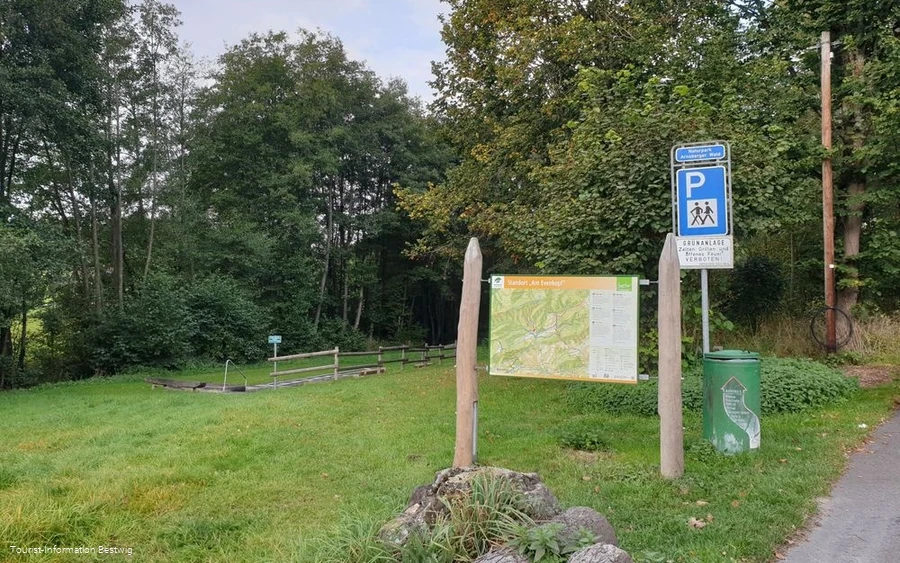
Hikers' parking lot "Am Evenkopf", Bestwig-Nuttlar
Tour destination point:
Hikers' parking lot "Am Evenkopf", Bestwig-Nuttlar
Properties:
Category
regionaler WanderwegLength
12.3 kmDuration
3:47 hElevation ascent
374 mElevation descent
380 mLowest point
298 mHighest point
484 mCondition
Difficulty
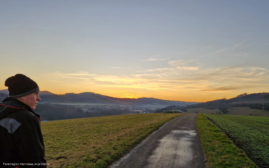
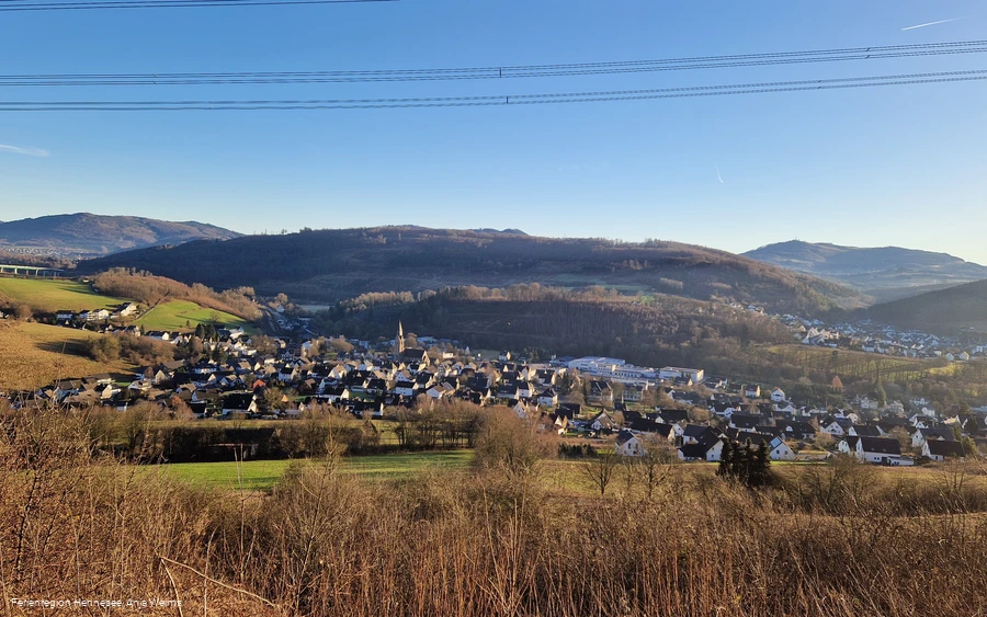
The Bestwig Bestweg Nuttlar starts and ends at the "Am Evenkopf" hiking parking lot. This hike invites you to discover the beauty of the Sauerland. The trail leads around the Bestwig district of Nuttlar. It goes through the Arnsberg Forest Nature Park, with many beautiful views.
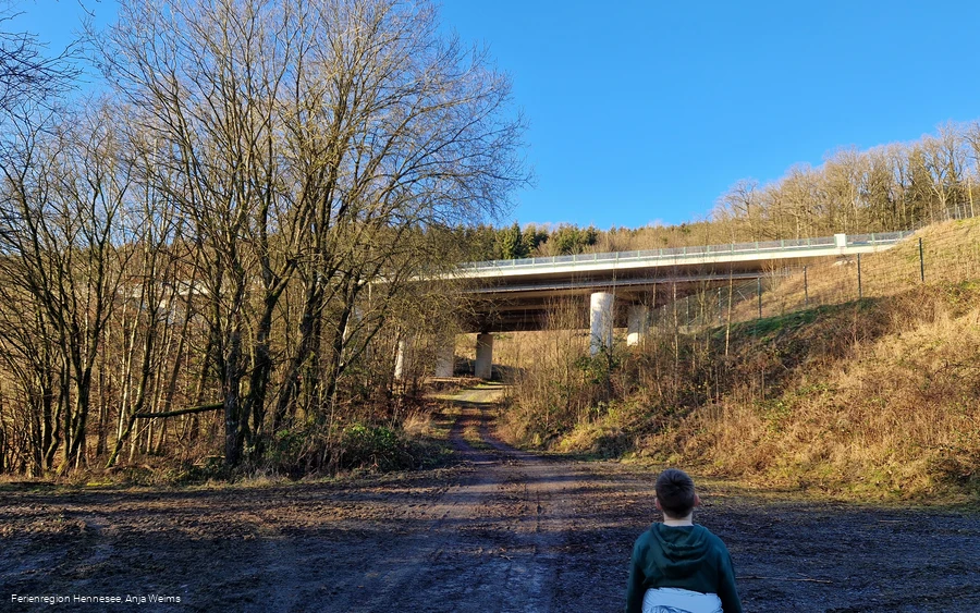
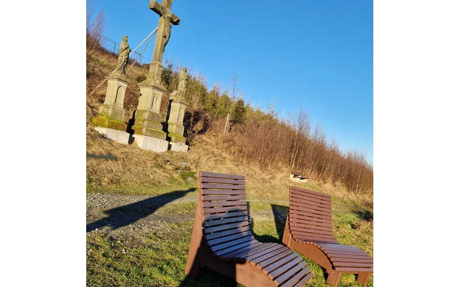
The Nuttlar viaduct is striking right at the start. The highest highway bridge in NRW spans impressively across the valley. The route continues to the crucifixion group, the 12th station of the Nuttlar Way of the Cross. Here, a magnificent view of the Ruhrtal opens up, inviting you to take photos. Two benches invite you to take a break.
The descent leads to the Alfert, an idyllic spot on the Ruhr. Here you can watch the leisurely flow of the water - and often also ducks or swans. The route then continues past the railroad line, the Ruhr and the main road to the Ostwig market square. St. Joseph's Church on the square invites you to take a short break.
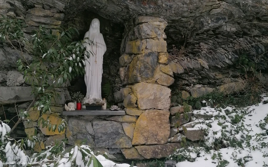
A special highlight is the information and rest area at the Nuttlar slate quarry. Here you can find out about the former slate mining in Nuttlar. Part of the slate quarry is under water and is used by cave divers. One of the most extraordinary diving spots in the world! The trail then leads through the district of Dümel to an idyllically situated Mariengrotte - the Dümelskopfgrotte.
Continue along Nuttlar's Königstraße. Here you are only 500 meters away from the village center of Nuttlar. The route then climbs over the Abeloh to the Schlinksiepenkopf. From there, you have a breathtaking view of the entire surrounding area and the highest highway bridge in NRW. The final descent takes hikers back to the starting point, where the hike ends with many unforgettable impressions.
Information
Directions
Start is at the hiking parking lot "Am Evenkopf"Ascent with great views of the Arnsberg Forest Nature Park - crossing under the freeway bridge - crucifixion group (last station of the Nuttlar Way of the Cross with great views of the Ruhrtal) - descent into the Ruhrtal to the Alfert (dammed Ruhr) - crossing of the railroad line, the Ruhr and the main road - Ostwig market square with St. Joseph church - information and rest area at the Nuttlar slate quarry (with mine diving) - Dümel district - Dümelskopf grotto - crossing of Nuttlar Königstraße (here only 500 m to the village center) - ascent to Schlinksiepenkopf (also the end of the freeway) - views of the highest freeway bridge (115 m) in NRW - descent to the Evenkopf hiking parking lot
Equipment
Author Tip
Maps
- Hiking board at the "Am Evenkopf" hiking parking lot (Am Roh, 59909 Bestwig)
- Hiking board in the center of Nuttlar (will be revised in 2025)
Public transit
As it is a circular hiking trail, you can join the route from any point.
The bus stops "Ostwig, Kirche" and "Bestwig, Alfert" are located directly on the hiking trail.
If you are traveling by public transport, you should start your hike here.
Bus connections at www.westfalentarif.de.
